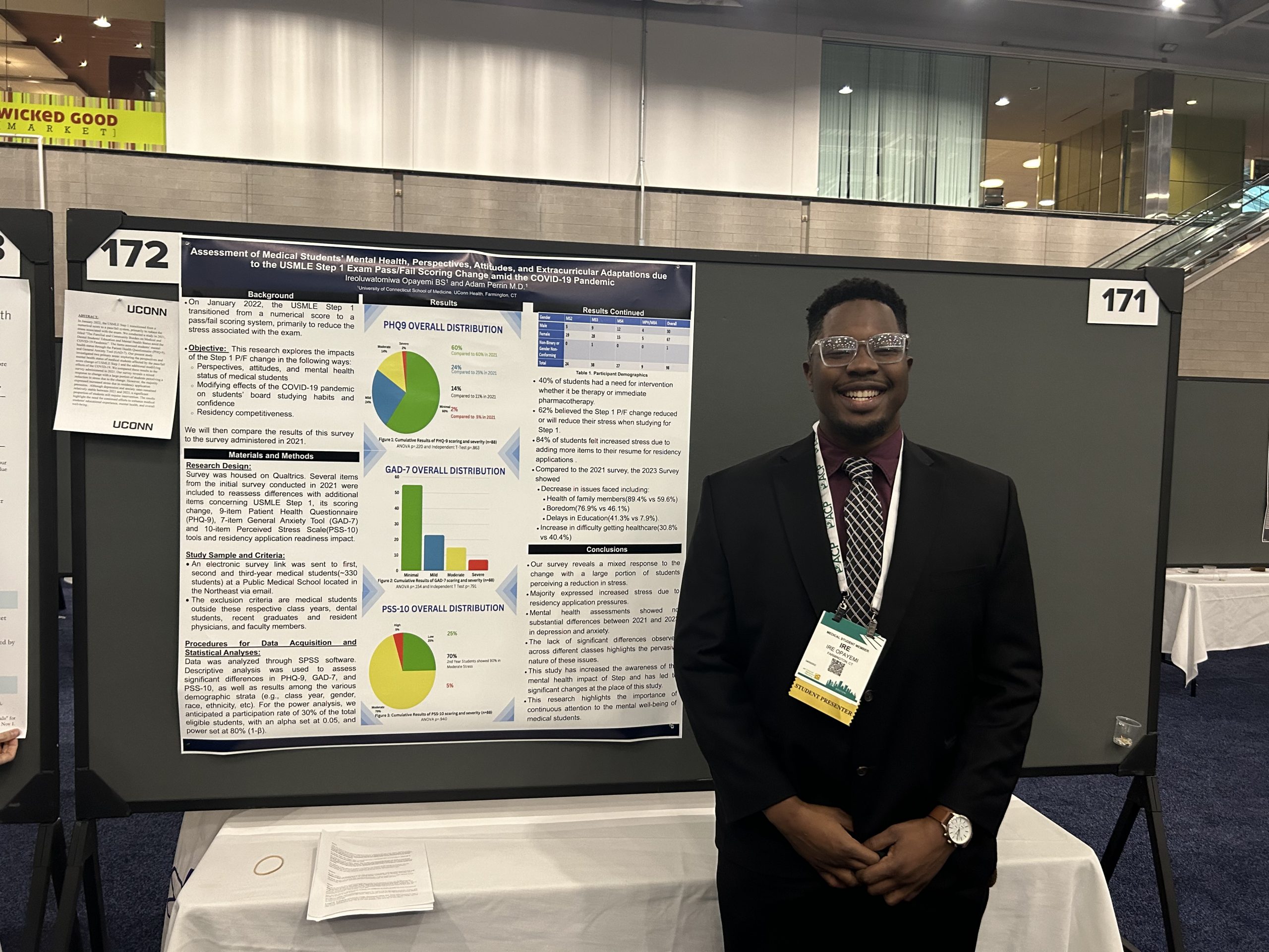
The Map and Geographic Information Center (MAGIC), part of University Libraries, is now home to the Connecticut State Data Center, the U.S. Census Bureau’s public data provider for Connecticut-related census data. The additional resources will further enhance the center’s mapping and geospatial data offerings.

Beginning last October, the Map and Geographic Information Center formed a partnership with the College of Liberal Arts and Sciences, the UConn Department of Geography, and the Connecticut Office of Policy and Management to move the Connecticut State Data Center to MAGIC.
The State Data Center assists state agencies, businesses, governments, researchers, and the public with accessing and using U.S. Census data.
To further enhance the State Data Center’s data offerings, the entire website is being updated to include additional datasets and will include numeric and geospatial data, to enable users to view and map U.S. Census data for Connecticut.
The change will enable MAGIC to offer researchers access to U.S. Census data for Connecticut in mapping, as well as numeric, friendly formats.
In 2011, users will be able to access the American Community Survey five-year datasets and U.S. Census 2010 datasets for Connecticut. As these datasets become available, the Connecticut State Data Center website will incorporate this data.