While water is a precious, life-sustaining resource, too little or too much can spell trouble.
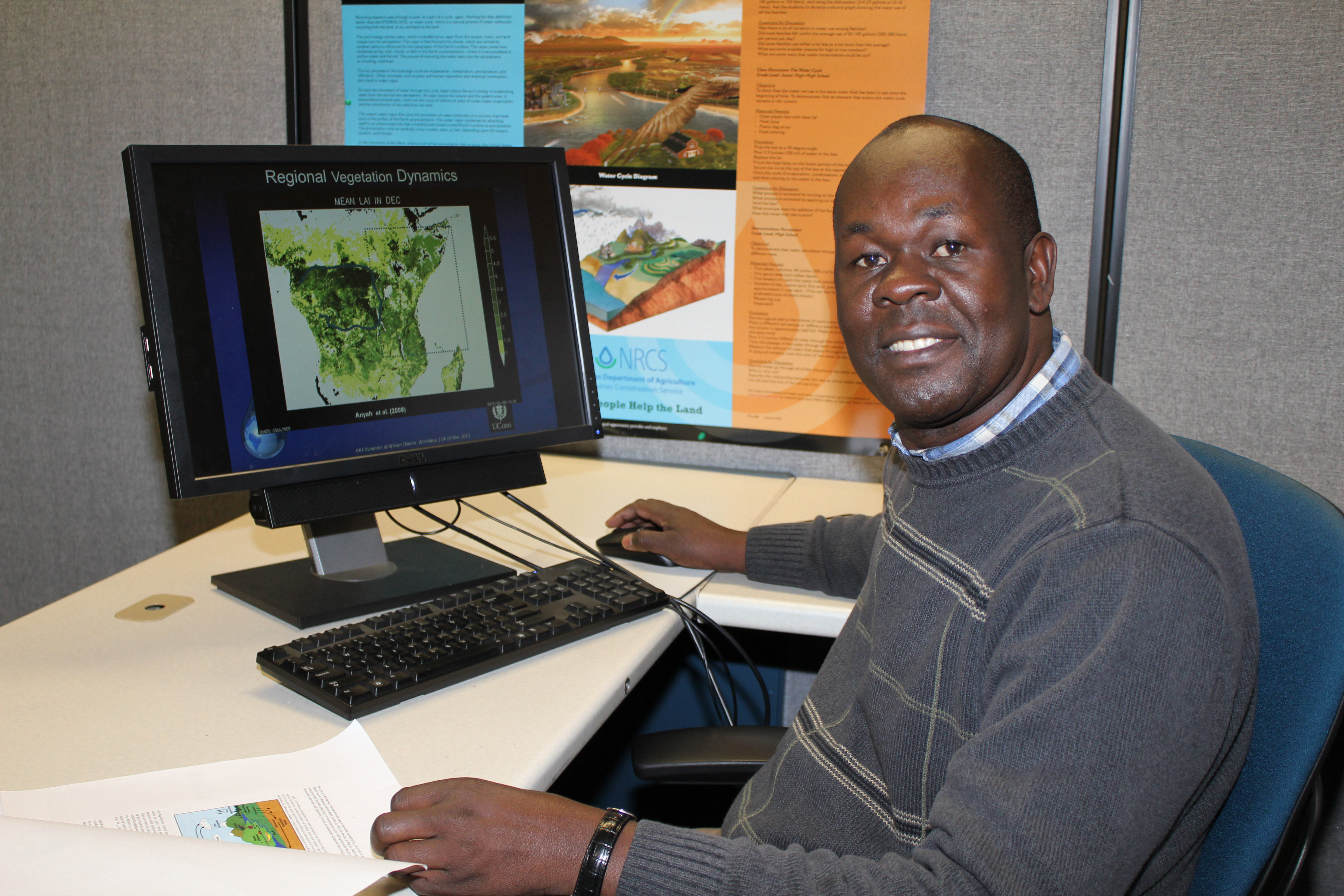
Water moves around the planet, either in the ground or through the air, in a well-orchestrated cycle, one that UConn associate professor in the department of Natural Resources and the Environment Richard Anyah is working to better understand.
His research, recently published in the journal Science of the Total Environment, with colleagues from Cardiff University (U.K.) and Curtin University (Australia), focused on how variations in climate can impact the cycle of water and its storage in Sub-Saharan, and especially Southern, Africa.
Understanding variations in the movement of water through the cycle, especially in times of climatic extremes such as floods and drought in the region, is vital because water is becoming an increasingly important issue.
“The former Secretary-General of the United Nations, Boutros Boutros-Ghali predicted that the next biggest war in Africa will probably be triggered by water,” Anyah notes.
The ability to predict climate extremes and their impact on the availability of water, he says, is essential for implementing water management strategies that will lead to better outcomes.
The researchers looked at five climate indexes, which have periodic patterns in temperature or precipitation that can have wide-ranging effects on global climate patterns. They surveyed the indexes over a 16-year period of time and compared the data to the amount of stored groundwater over the same period of time. Although previous studies had looked into the indexes individually, the researchers hoped to look at how combinations of the indexes affected the region and their potential effects on the total amounts of groundwater stored.
To measure the groundwater, the researchers used data from the Gravity Recovery and Climate Experiment (GRACE) satellite, which measures variations in Earth’s gravitational field.
“The gravitational pull is like a pulse that responds to the amount of water present in an area,” Anyah explains.
Using the GRACE satellite to measure subterranean water reserves enabled the researchers to gather data from areas they don’t normally have access to. The Congo is one example where conflicts make it difficult or dangerous for researchers to gather data otherwise.
To understand how a climate index such as El Niño, which starts over the Pacific, can have an effect on water storage in Africa, it is important to recognize what is called global climate-teleconnection. This, Anyah explains, can be viewed like a conveyor belt: “A storm or a heatwave may exit your region, but it is still moving elsewhere.”
Sometimes these climate indexes move in succession on the belt, and sometimes they move in phase, or together. If, for instance, the conditions to increase moisture and temperature coalesce, they may culminate in the perfect scenario for flooding.
This is exactly what Anyah and the team found may happen, creating exceptionally huge floods in East Africa when El Niño aligns with another index called the Indian Ocean Dipole.
Beyond seeing if these ‘triggers’ existed, the researchers also wanted to find out the lag time, or how long the triggers would take to have an effect on total water storage in Africa.
“If we see a big change over the Pacific Ocean, six to 12 months later usually some parts of Southern Africa get drier and some parts of East Africa get wetter. This really determines how surface water will be recharged,” says Anyah. This is an important relationship, as many of the areas affected are catchments leading to the Nile and other rivers.
The alignment of climate indexes also has periodicity, which means that the circumstances can be predicted to some extent. “Over a longer period of time, we can see signatures in how ground water is recharged,” he adds.
Another relationship they observed was when El Niño combined with another index called the Madden-Julian Oscillation to reduce total water storage over the Sahel and the Congo Basin, with an approximated lag time of around six to eight months.
The researchers found these and other unique relationships between other regions of the continent affected by certain climate indexes. They note that although climatology involves very complex processes, the strong relationships they found offer insight into the total water storage outcomes in some areas if climate patterns of certain indexes dominate.
This in turn provides an opportunity to implement water management strategies, such as tapping into groundwater when a particular climate index suggest that a drought will be prolonged.
“Unlike India, for example, which has over-exploited its groundwater through irrigation, most parts of Africa depend on rainfall for agriculture,” Anyah says, “and they have not yet fully tapped into their groundwater resources to boost food production through irrigation.”
In the event of a water emergency, he adds, non-governmental organizations must be prepared to respond, and they cannot do that instantaneously. Research like this helps global climate prediction centers to frame early warnings or issue advisories with ample time to prepare, while also providing insight into how climate influences the water cycle.
This research was supported by a National Science Foundation grant, #AGS-1305043.