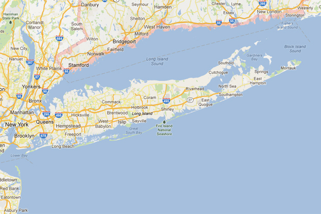

The Long Island Sound, the largest estuary in the Northeast, has long provided livelihoods and recreation for hundreds of thousands of people, and has been a subject of fascination, conservation, and controversy.
Now for the first time, scientists will create comprehensive biological and geological maps of the Sound, including seafloor characteristics, water currents, and wildlife habitat. Land managers will use these maps to make critical decisions: Where should we put new natural gas pipelines? Why are lobsters dying in certain areas? Will fishing be sustainable in a high-traffic zone?
“No one has looked at Long Island Sound mapping in a systematic way until now,” says Ivar Babb, director of UConn’s Northeast Underwater Research Technology and Education Center. “This is precedent-setting in the scope of what’s being done for the Sound, and precedent-setting in the scope of what we do.”
Babb is a lead investigator in a $1.4-million pilot project funded by the Connecticut Department of Energy and Environmental Protection (DEEP) and the New York Department of Environmental Conservation (DEC).
If the pilot is successful, an additional $5.5 million will be invested over the following several years.

The funding has been awarded to the Long Island Sound Mapping and Research Collaborative, or LISMaRC – a partnership among UConn, the University of New Haven, the University of Rhode Island, and the U.S. Geological Survey.
The project will help managers in the states of Connecticut and New York and the federal government balance human infrastructure needs with preservation and restoration of the Sound’s essential ecological functions.
The support for this project comes from a settlement fund established in 2004 after a lengthy conflict among utility companies and state governments over the placement and repair of the Cross-Sound Cable, a series of underwater electrical cables linking Connecticut and Long Island.
“A big issue is that when someone wants to build a pipeline or a cable, they have to decide where to propose to put it,” explains James O’Donnell, professor in the UConn department of marine sciences and a lead researcher on the project.
Often, however, there’s no data to help proposers take into account both ecological and human concerns.
“If someone proposes to build somewhere that’s ecologically sensitive, there could be conflict and of course expenses,” O’Donnell says. “There are several infrastructure projects that have suffered from this, and we want to help avoid these problems. If people’s tax money is going to pay for these kinds of developments, then it’s important that we spend time on it and do it right.”
The project will use an array of sophisticated equipment, including high-resolution photo and video cameras mounted on Hela, UConn’s remotely operated undersea vehicle; the U.S. Geologic Survey’s deep-sea sampling system, known as SEABOSS; and a series of long-term observing systems installed on the seafloor. Using these technologies, the 20-member LISMaRC team will sample a boot-shaped area of the Sound between Bridgeport and Milford, Conn., and Setaucket and Wildwood on Long Island, N.Y.
The scientists will map the seafloor topography, sediment types such as mud, sand, gravel, and rocks, and the animals associated with these areas. They’ll also measure the water’s currents, temperature, salinity, and oxygen levels.
The strength of these measurements, says O’Donnell, will be in their specificity and precision. In the sampling areas, the equipment will cover every inch of the seafloor.
“It’s like cutting grass,” he explains. “You don’t want to cut strips with gaps in between – you want them to overlap so you know you’ve covered everything.”
By adding these new data to existing information on fishing, aquaculture sites, and other human activities, the team will build comprehensive maps that can be used by managers, utility companies, and even educators and the public.
“With this information, land and ocean managers will be able to say, ‘We know this particular area is ecologically diverse, so don’t build a pipeline here,’” says Babb.
“This level of investment is very significant,” he adds. “To make this investment in a time when federal and state budgets are a challenge shows that our states are committed to better stewardship of the Long Island Sound.”