The Department of Natural Resources and the Environment (NRE) now offers an online graduate certificate in remote sensing and geospatial data analytics. The four-course, twelve-credit fully online certificate is for those with a bachelor’s degree in a related field such as natural resources, forestry, engineering, geoscience, geography, environmental science or ecology. Advancements in technology continue to improve data collection by geographical operating systems such as Google Earth, and tools to use in analyzing those data continue to evolve as well. There is considerable demand for professionals who can use technology to gather and analyze data for private industries and government. The new certificate program aims to educate students to be well-versed in remote sensing software and analysis of the data they collect.
Remote sensing involves using satellites, aircraft and drones to monitor, observe and document objects or phenomena on the earth’s surface. It is the technology used to acquire geospatial data. “Pictures have a lot of information depending on where and what you image,” says NRE assistant professor in residence Chandi Witharana. “Remote sensing can gather images of wildfires, refugee migration and remote areas such as the Arctic.” Once students learn how to gather information using technology, they will learn how to analyze the data. Geospatial data analytics uses Geographic Information Systems (GIS) to produce maps and observe trends.
The certificate is the first of its kind in the state of Connecticut. It is unique in that it blends remote sensing with GIS, unlike most traditional programs that focus solely on GIS. UConn’s certificate teaches students how to gather and analyze the data in addition to using the necessary technology such as drones and satellites. The certificate is geared toward recent graduates as well as professionals who already work in industries related to biodiversity, conservation, management, research or government. The program will also benefit professionals in academia who aim to gather geographical data for research purposes. The online delivery is well suited to those who want to add to their skillset but are unable to commit to a full-time master’s program.
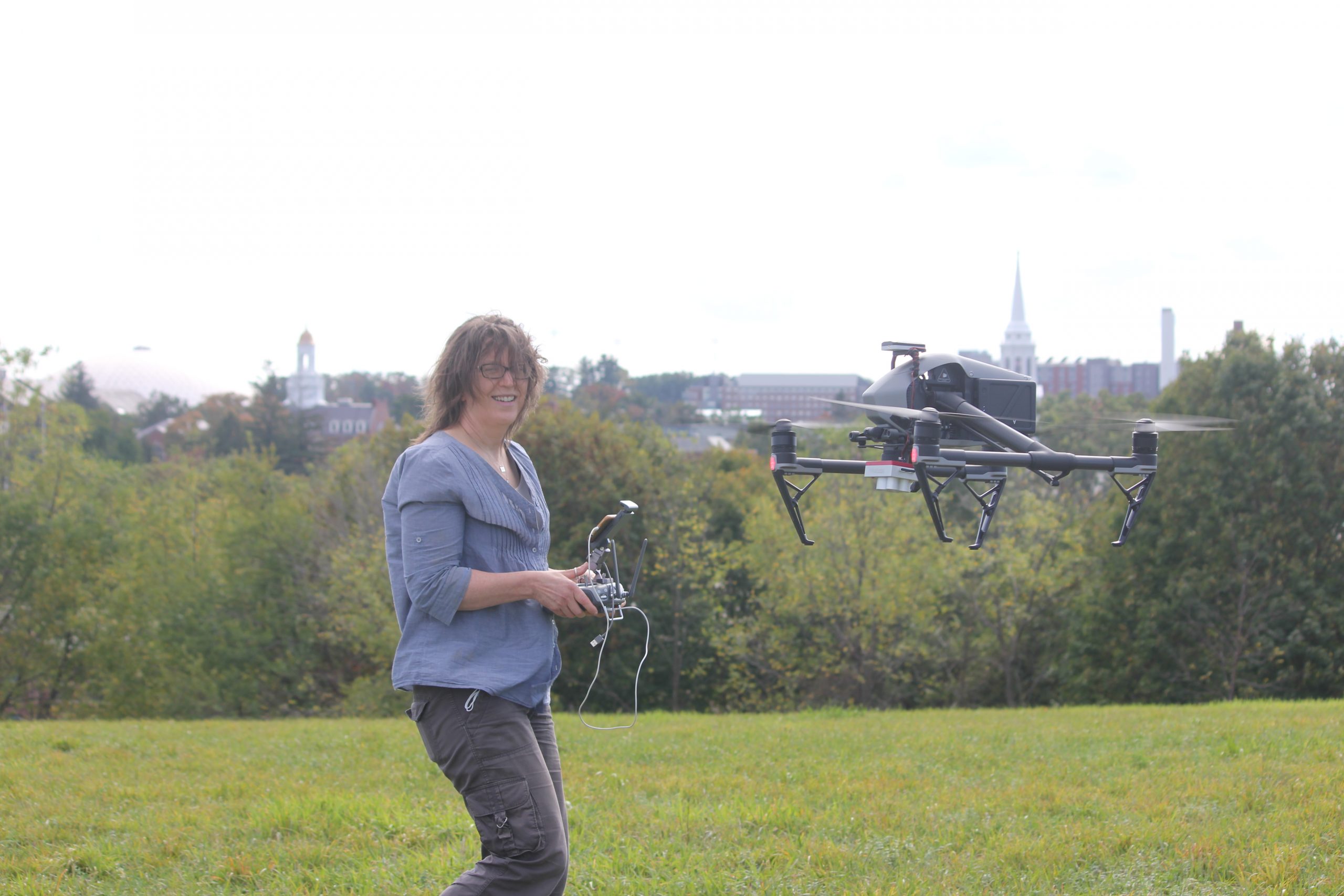
Witharana expects the certificate program evolve in coming years. He envisions the certificate program as constantly adapting to the needs of the industry. For example, the current curriculum includes a course on drones. Drones are used to take images of remote areas for military, environmental science and research purposes.
“You can go to Best Buy or Walmart and buy a drone. You can take pictures, but what do you do after you take those pictures? This is where students learn to generate data based on those pictures and solve the problem at hand,” says Witharana. “The goal is to provide students with the knowledge to make sense of the images they collect. The program will continue to directly address the demands of the geospatial industry. Graduates of the certificate program will be a vital asset in the professional workspace.”


