The Department of Geography in the College of Liberal Arts and Sciences will offer a new major in Geographic Information Sciences beginning in fall 2019. The major will serve a growing demand for expertise in spatial analysis and interpretation to solve natural, social, economic, and political problems.
The major trains students in the understanding of space as integrally contextual to worldwide problems affecting humans and the environment, while taking advantage of geographic information systems technology. The U.S. Department of Labor has identified geotechnology as a “high-growth” technology industry, along with biotechnology, nanotechnology, and others.
“Geographic information science is a relatively new scientific discipline that uses spatial analysis to look at economic, business, social, political, and environmental problems,” says Professor and Head of Geography Chuanrong (Cindy) Zhang. “We train students in spatial thinking, and to see the big picture.”
The interdisciplinary program involves courses and faculty from 16 different departments and programs on campus, including geosciences, economics, statistics, anthropology, computer science, and mathematics.
“The landscape, pollution, race, class, gender, economics—they are all happening at the same place,” adds John Andrew Jolly-Ballantine, associate professor-in-residence of geography. “If you’re just focusing on one aspect of those things, you’re not getting the full picture.”
Students and professionals trained in spatial thinking and analysis will find ways to tackle the big problems identified in a National Research Council report on directions for geographic sciences, the faculty members say, including how to respond to environmental change and promote sustainability, how to cope with the spatial reorganization of human economies and society, and how to leverage technological change for humanity’s benefit.
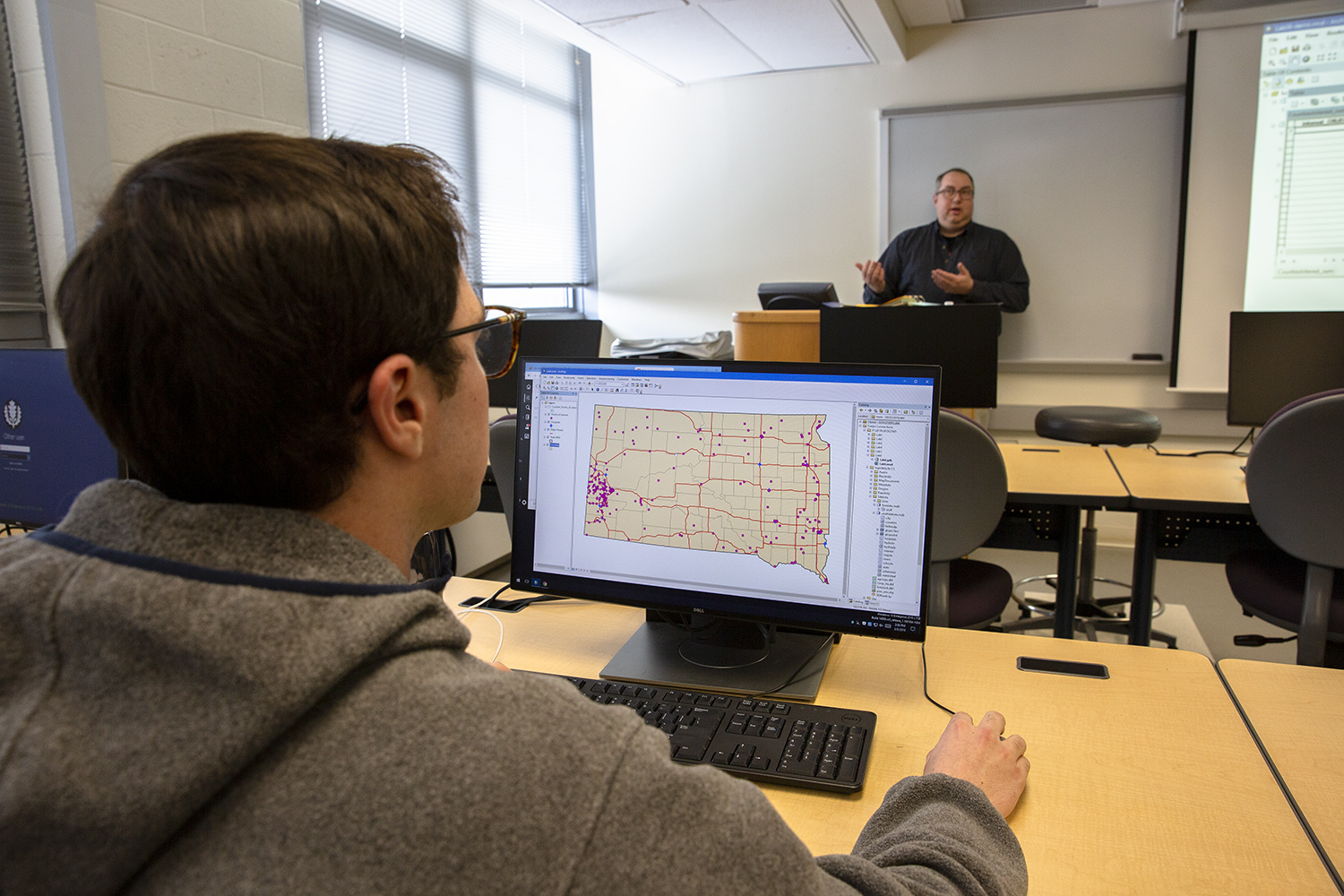
The program emphasizes tools used in geospatial technology, such as geographic information systems (GIS), remote sensing, global positioning systems, spatial statistics, web mapping and navigation technologies. It’s much more than the use of many layers of maps, says Ballantine.
“Geographic information science gives you the spatial thinking and technical tools to work in nearly any field you want to,” says Ballantine. “You can follow your own passion and make a good living.”
Geographic information science specialists can find a growing number of jobs as transportation professionals and city planners, as disaster relief specialists, as managers with the U.S. Department of Agriculture, within U.S. Homeland Security and the military, as well as local and regional planners and policymakers.
Jonathan Ursillo ’20 (CLAS), an environmental sciences and economics double major, says he appreciates that GIS technology applies to a wide range of disciplines.
“As I learned more about its real-world utility, I realized that studying geography would improve my marketability to potential employers,” he says.
Faculty in the geography department regularly work with undergraduate students on research projects and help to place them in job opportunities and internships.
“We have relationships with all our undergraduate students,” says Ballantine. “Our students really do get individualized help focusing on what they want to achieve.”
The Department of Geography currently places students in internships throughout the state, including UConn’s Connecticut State Data Center and Office of Environmental Policy, as well as local lands trusts, insurance agencies, food justice nonprofits, in environmental consulting and state governmental agencies like the Department of Energy and Environmental Protection. Ursillo has interned in the UConn Office of Environmental Policy, and credits his many GIS courses with giving him the perspective and tools to see connections between humans and the natural world.
“I enjoy using GIS tools because they allow you to not only perform elaborate analyses, but also visualize them,” he says. “It’s a powerful tool in gaining a deeper understanding of complex solutions, especially when conveying results to everyday people.”
The new major will add to a general framework of a geography major with new courses on spatial data science, managing spatial “big” data, and computer programming in geographic information systems. The courses will round out the geographic information science major and also add to the diversity of courses offered through the Department.
“Even taking just a few GIS courses can improve your starting salary and likelihood of getting a job when you leave school,” notes Ballantine. “It’s relevant to so many different fields.”
“There is no end to the opportunities you can have with a geographic information science degree,” adds Zhang.