Viewing the earth from space is a breathtaking experience. In the daytime, the green and brown masses of earth blend into the deep blue ocean, covered by curling wisps of clouds. At night, the globe is peppered with constellations of golden lights.
The images we take of space have more than an aesthetic value; they facilitate research about how the Earth is changing by creating the big picture we cannot get from the ground.
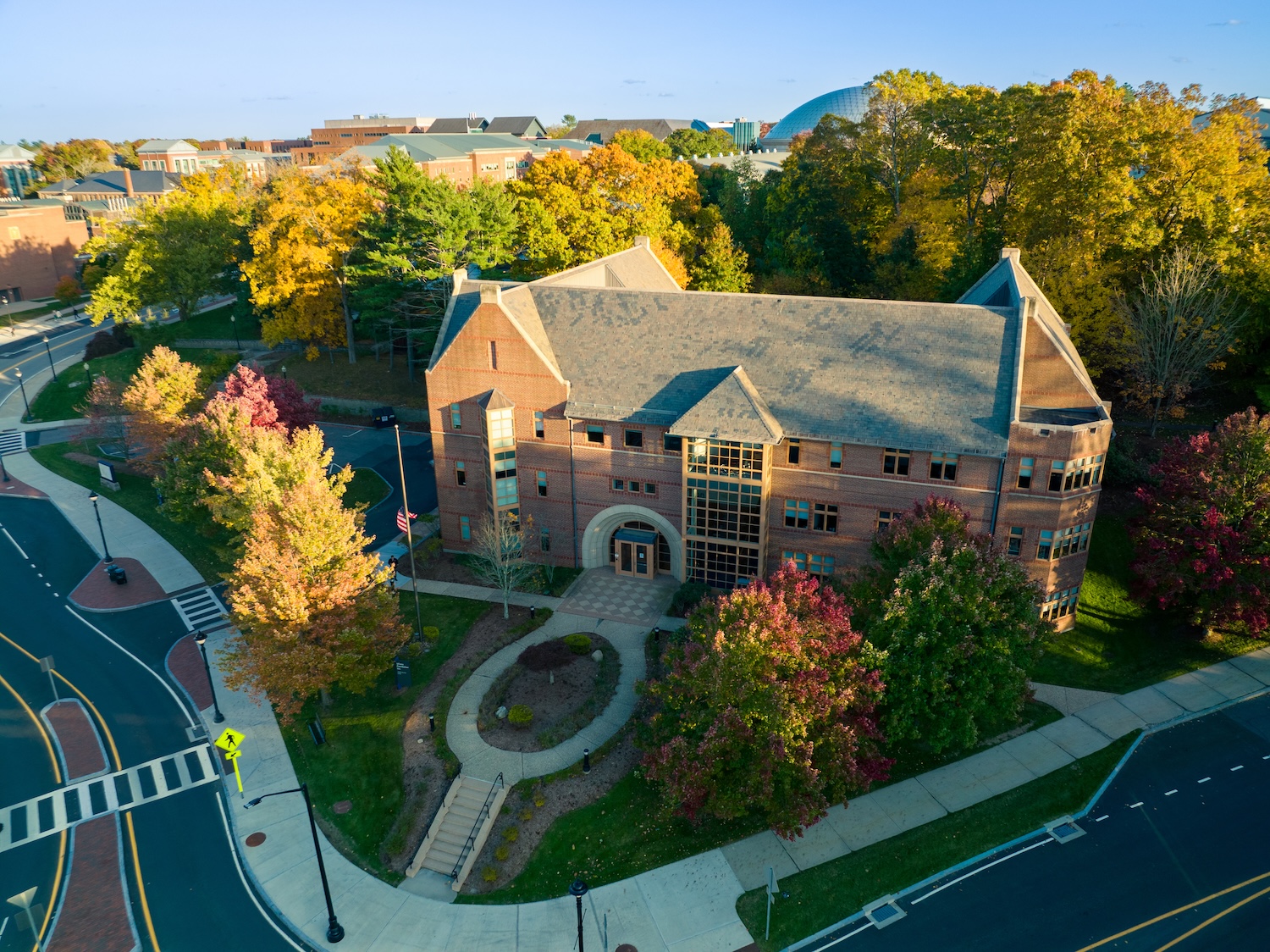
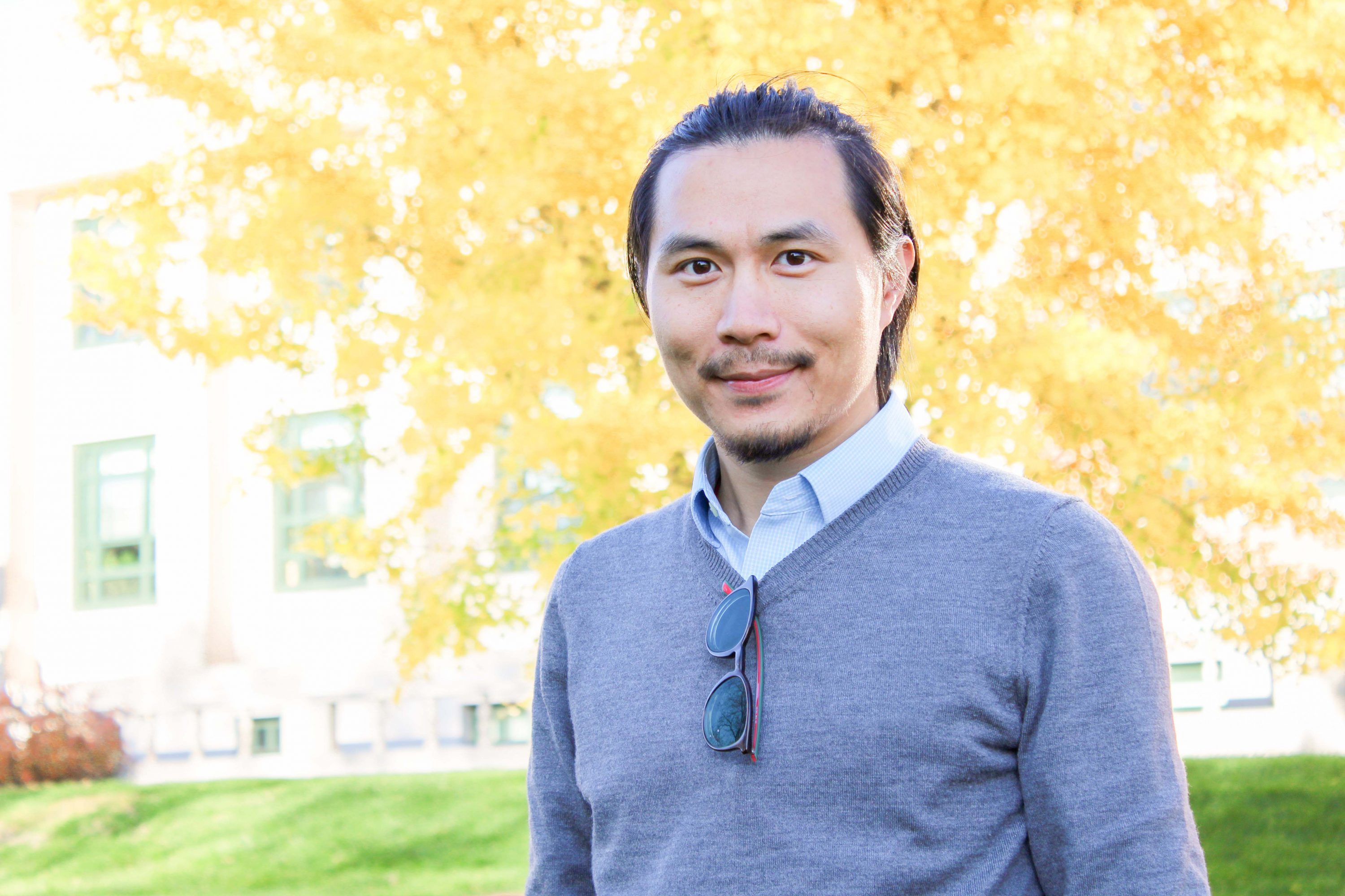
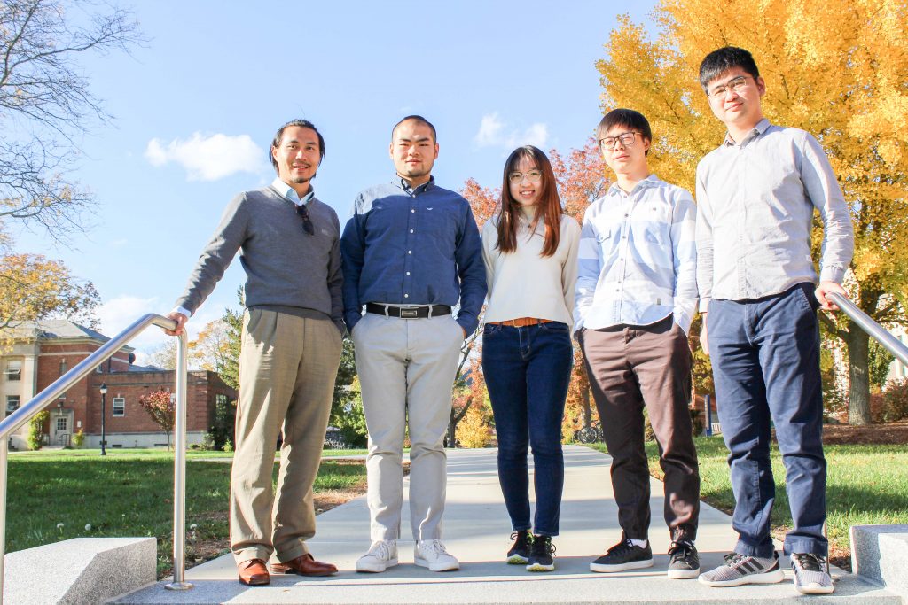
University of Connecticut assistant professor of natural resources and the environment Zhe Zhu has dedicated his research career to learning from what satellite images of Earth can tell us about what’s happening on our planet. Zhu came to UConn earlier this year after working at Texas Tech University as an assistant professor.
Seeing the Bigger Picture
“When I was young, I really loved studying nature,” Zhu says. “I was interested in many things, such as how this world is functioning and the principles behind it.”
This general interest in nature was refined throughout Zhu’s education as he became increasingly enthralled with remote sensing technology.
Zhu is interested in considering the bigger picture. One of the largest advantages of remote sensing is that it allows scientists to scale problems they see on a local level up to see if there’s a pattern, or if what they’re seeing is an anomaly.
“There was no way to get large-scale data about an area until I saw remote sensing,” Zhu says. “It’s impossible to survey the entire United States unless you have that capacity, which remote sensing gives you. Remote sensing provides another lens to study Earth. It’s a lens that we were never able to use before.”
One of the most exciting uses for remote sensing is studying changes of Earth’s landscape over time.
“We can actually see what’s happening from any location on the globe,” Zhu says. “We can analyze those images and see what’s happening. I’m excited to see something like this.”
In the 1980s scientists had to pay exorbitant sums – thousands of dollars – to see just one image. Since most projects need hundreds or even thousands of images to detect meaningful changes over time, this cost put a bottleneck on research efforts.
“In the 1980s, remote sensing scientists had to make a decision to purchase a satellite image or a car,” Zhu jokes.
In 2008 the U.S. government made its satellite program, Landsat, free and remote sensing research skyrocketed. Last year, the U.S. government was considering reversing this policy. As a member of Landsat Science Team, Zhu led a team paper in Remote Sensing of Environment that demonstrated the benefit of the free and open data policy. The team succeeded in helping to convince the government to continue its free and open policy of Landsat data.
“Reversing the open data policy would be like going back to the dark ages,” Zhu says. “Landsat users felt this would totally change what everyone who relies on this data is doing.”
Remote sensing technology has not only become more affordable, but much faster in providing useful information. It used to take weeks for sensors to revisit the same location of the Earth but now it can be done in every two- or three-days using constellations of satellites, such as Landsat and Sentinel-2.
Mapping Matters
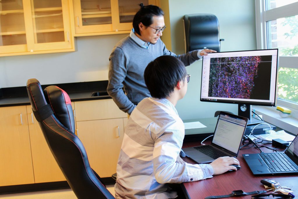
Zhu is working on several grants funded by National Aeronautics and Space Administration (NASA), the U.S. Geological Survey (USGS), and Connecticut Department of Energy and Environmental Protection (DEEP) right now through the Global Environmental Resource Sensing (GERS) Laboratory, with a team of two postdoctoral researchers and two Ph.D. students.
“I’m interested in how the world is changing, and why it is changing,” Zhu says.
During his Ph.D. work at Boston University, Zhu and his advisor Curtis Woodcock invented an algorithm called Continuous Change Detection and Classification (CCDC) which the USGS used to map landscape changes of the entire Conterminous United States (CONUS). Zhu is now funded by USGS to further improve that algorithm, so it can create a more accurate picture of what’s happening to the CONUS’s land.
Zhu is also working on a NASA grant to improve their Black Marble products which use satellite data to map Earth at night.
“When you’re taking photos at night, you see something totally different,” Zhu says.
Night-time satellite data shows hotspots of human activity indicated by patches and veins of light.
This kind of data can be helpful for disaster relief efforts by allowing officials to see which areas don’t have electricity. Right now, the images are muddled by factors like lights that are not due to human activity appearing on the map. The grant hopes to resolve these issues and create methods for using time series of night-time light data to better map and characterize human activity changes.
One of the largest projects Zhu is working on is supported by the USGS-NASA Landsat Science Team. As part of this project, Zhu will develop advanced methods for near real-time monitoring of various kinds of land disturbance (e.g., stress, fire, wind, mechanical, harvest, hydrology and earthquakes or landslides) for CONUS land areas based on very dense satellite time series.
These disturbance factors are modeled on a complex mapping system. The interface takes the viewer through time, covering the map with swirling colors that each represent a different disturbance agent.
Another project on which Zhu is a co-investigator funded by DEEP (Chad Rittenhouse is the principal investigator) monitors the habitats of rare or endangered species. By tracking habitat changes through time, agencies concerned with preserving biodiversity can identify areas where these species are becoming the most vulnerable.
Zhu recently started another USGS funded project that tries to map and characterize the changes of land use in coastal wetland areas. Coastal tidal wetlands are one of the most important natural features that sequester greenhouse gases, keeping them out of the atmosphere. Using remote sensing, we can better monitor the condition of coastal wetlands and better manage them.
Exploring Wisdom
The basis for all these research endeavors is a desire to explore, even if it happens remotely. Zhu is interested in investigating the unknown and using remote sensing to explore and expand our knowledge of the world around us.
“I’m always excited to see the unknown stuff,” Zhu says. “You have a hypothesis, a guess about what the data will tell you, and use the data to prove or reject your hypothesis. I like these unknown things. My work is really about exploring wisdom.”
One of the most rewarding parts of research for Zhu is seeing his work being used by others to explore knowledge even more. Some of Zhu’s papers have been cited thousands of times.
“I feel very rewarded when I see I’m creating useful information,” Zhu says.
Zhu hopes researchers in other disciplines will see the advantages of remote sensing so they can collaborate to continue seeking knowledge.
“I’m looking forward to collaborating with other researchers at UConn,” Zhu says. “I see myself as a bridge for people who want to use the lens of remote sensing to have a synoptic view of our environment and better protect the planet Earth.”
Follow UConn Research on Twitter & LinkedIn.