By 2050 – just 28 years from now – the sea level along the Long Island Sound shoreline is projected to be 18 inches above today’s levels. By 2100 it could be as much as six and a half feet higher than current levels. Climate change-driven severe weather events, like intense hurricanes, are also projected to increase in frequency. What this all means for the densely populated coast, which includes some of the largest towns in the state, is that significant changes are on the way.
UConn Department of Plant Science and Landscape Architecture researcher Tao Wu ’21 Ph.D and Extension Educator with the Connecticut Sea Grant program Juliana Barrett recently published a study looking at land use changes from the past and the importance of taking factors such as socio-economic development and the dynamic nature of coastal environments into consideration to make these areas more resilient to climate change. Their findings are published in Environmental Management.
This research focused on Connecticut, with 96 miles of coastland and 24 towns along the Long Island Sound shoreline, and the ways previous coastal land use changes have impacted resilience.
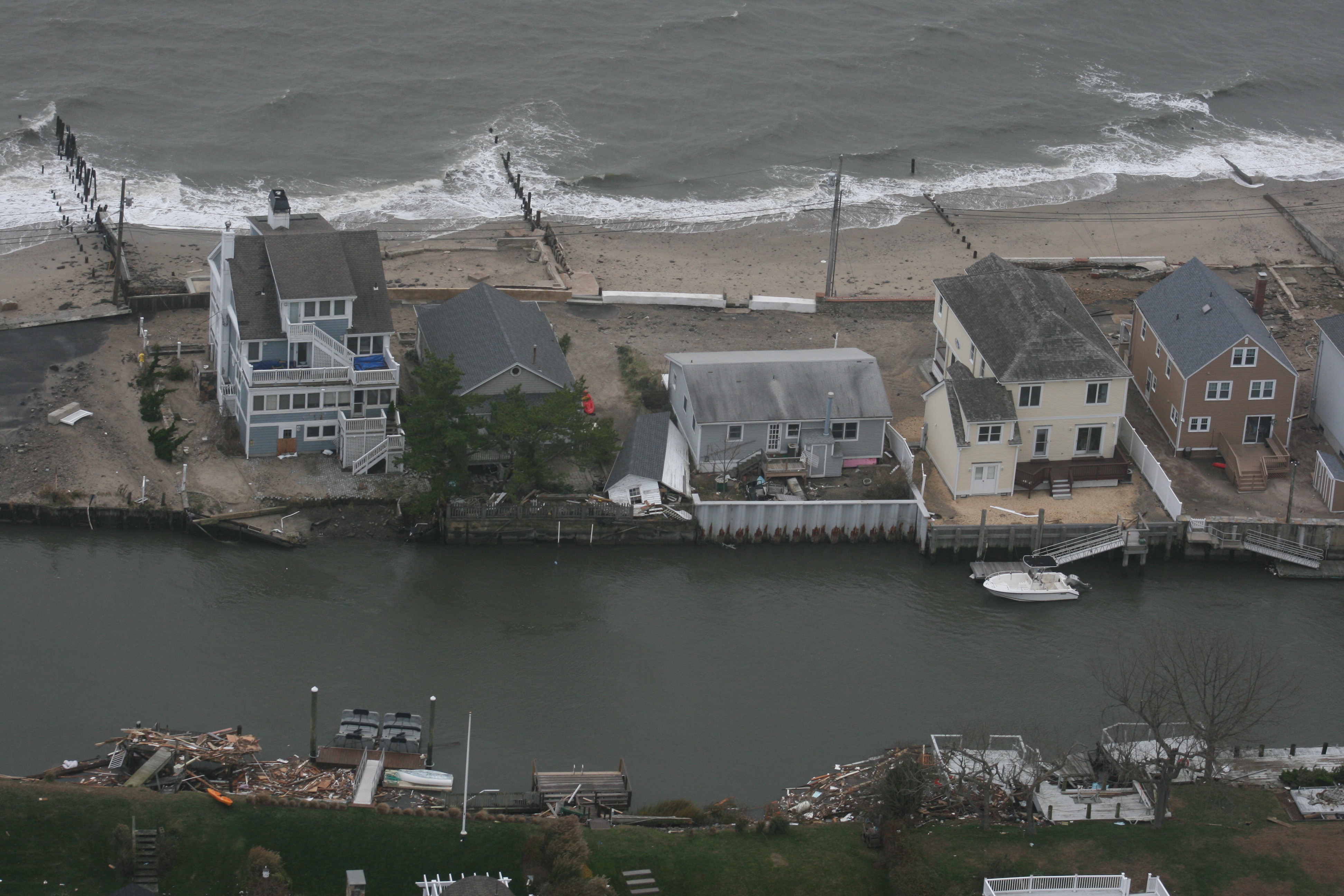
Connecticut’s coastal areas are vulnerable after rapid development in the 19th and 20th centuries, and because much of the land is less than 20 feet above sea level, the researchers say.
“Based on climate modeling and analogies with glaciological conditions, the global mean SLR [sea level rise] projections are more than 50% higher in Long Island Sound than the global average in an intermediate low emission scenario,” says Wu.
Though conveniently located for industry and commerce, coasts are very changeable and present challenges for development. Shoreline areas are under constant stress from forces such as wind, tides, floods, deposition of sediments, and sea level rise. Development, sprawl, and impervious surfaces compound the problems by increasing flood risk in urban areas near the coast.
The researchers investigated land use and focused on examples from New Haven Harbor, New London Ocean Beach, and Jordan Cove barrier island to study previous adaptive measures.
For their work, the researchers used GIS georeferencing of historic maps and satellite images, Digital Elevation Model (DEM) analysis, and historic documentation analysis.
In Connecticut, we should help people understand the impacts of climate change such as rising sea levels, intense coastal flooding, and the vulnerability of coastal communities. — Tao Wu
“The GIS methods help reveal an accurate picture of land use change and land morphologic change of coastal land and its relationship with elevations,” says Wu. “The historic documentation analysis and coastal hazards analysis helps with our understanding of the adaptive cycle of coastal land use change and evolution of communities, the changes in disaster response and hazard management in the United States and Connecticut and reveals the necessity of adopting adaptation and resilience strategies.”
By looking at the history of land use change, the researchers saw how increased population and developmental sprawl have resulted in an unprecedented degree of vulnerability in Connecticut’s coastal communities.
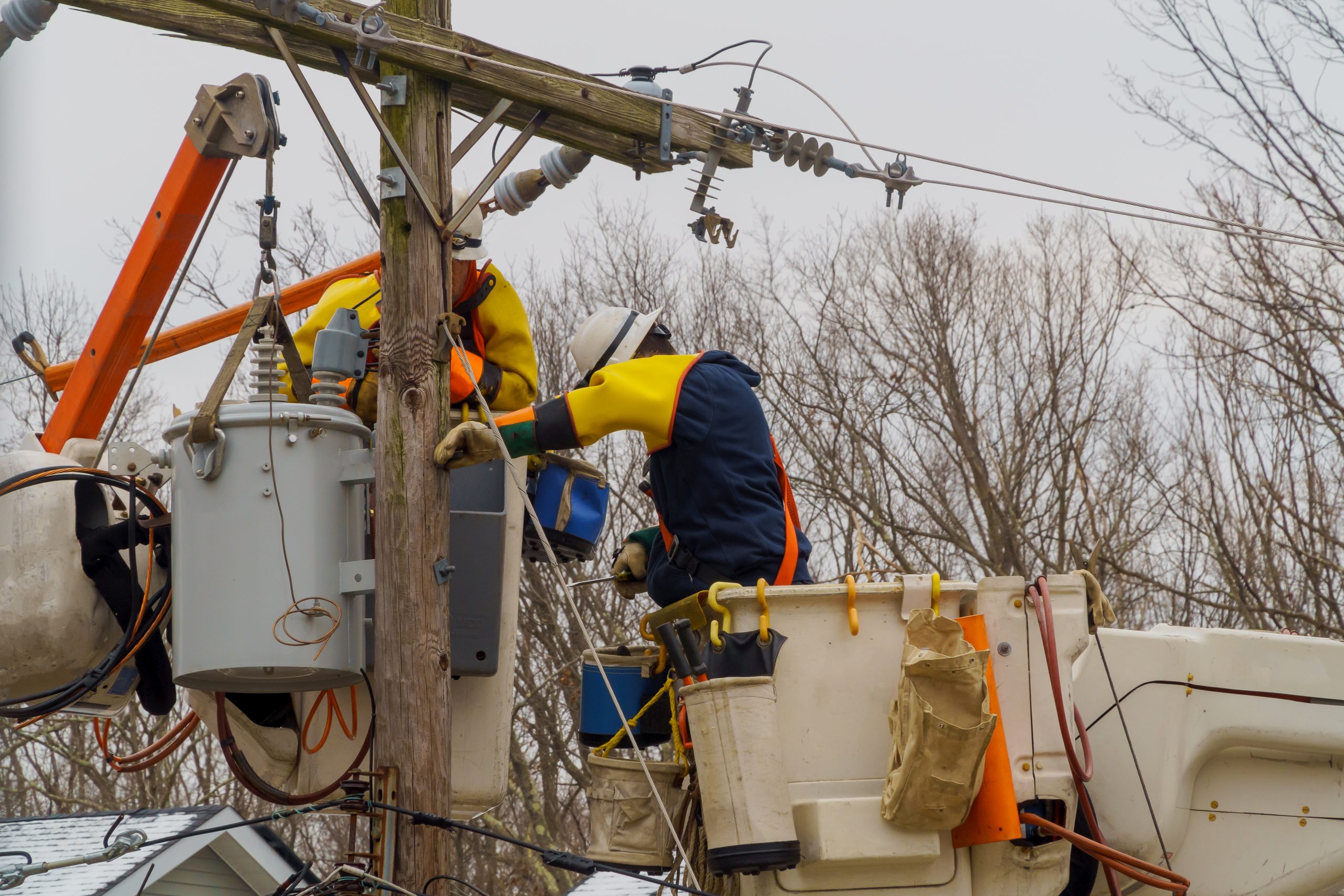
Wu says that engineering-based solutions such as levees and surge barriers have been the typical adaptation methods adapted for shorelines, but that these are limited in what they can accomplish.
“The engineered flood mitigation systems may suddenly break down in the face of disturbances that previously could be absorbed and recovered from,” Wu says. “Rigid systems eventually fail because they cannot take uncertainty into account and try to maintain an absolute stable status, especially under the circumstance of climate change and the uncertainty brought by it.”
In the case of New Haven Harbor, rigid development in the form of infilling of the harbor for construction of the interstate highway system has increased the area’s flood risk significantly.
Wu explains there are multiple nature-based solutions and other resilience strategies that help coasts absorb the impacts of coastal floods and storm surges including living shorelines, constructed wetlands, green stormwater management, strategic retreat, land acquisition of floodplain, and open space preservation. Conventional engineered solutions are aimed at removing disturbance, but resilient solutions focus on building the ability to absorb and recover from a disturbance in the coastal areas. Essentially, nature-based solutions work with, rather than against nature, as engineered solutions have.
“These methods are of increasingly critical importance for adaptation to climate change and natural forces since floodplains and coastlines are dynamic landscapes that are continuously changing and evolving in a way that these engineered structural solutions cannot accommodate,” Wu says.
The researchers did find evidence of previous resilience adaptations, noting how the 1938 New England Hurricane prompted a change in land use for the Ocean Beach community and New London downtown waterfront. In addition, New London also implemented green infrastructure measures that helped increase Ocean Beach Park’s ability to absorb storm surges and flood waters to some extent, the researchers note. These measures from the past are informative now.
Faced with sea level rise and climate change, much of the area surrounding New Haven Harbor lies within 100- and 500-year flood zones. The city has now initiated proactive adaptation policies to build resilience.
Seen as a “good area” for development in the 1950s, the researchers note that Jordan Cove barrier island, which is now underwater, is an extreme case and a good example of considering the long-term dynamics between ocean and land in planning and development.
“The shift from ‘keeping feet dry’ to ‘living with water’ in the Netherlands is an example of resilient thinking,” Wu says. “In Connecticut, we should help people understand the impacts of climate change such as rising sea levels, intense coastal flooding, and the vulnerability of coastal communities. We also need to incorporate the changes to our policymaking, new development planning, and natural resources management. In a word, we need to be resilient in mind, then adapt to the changing climate and create a resilient living environment by learning, experimenting, and creating with the goal of developing new solutions that can deal with our ever-changing environment.”