“We have lost if we lose touch with what the physical landscape means to us.”
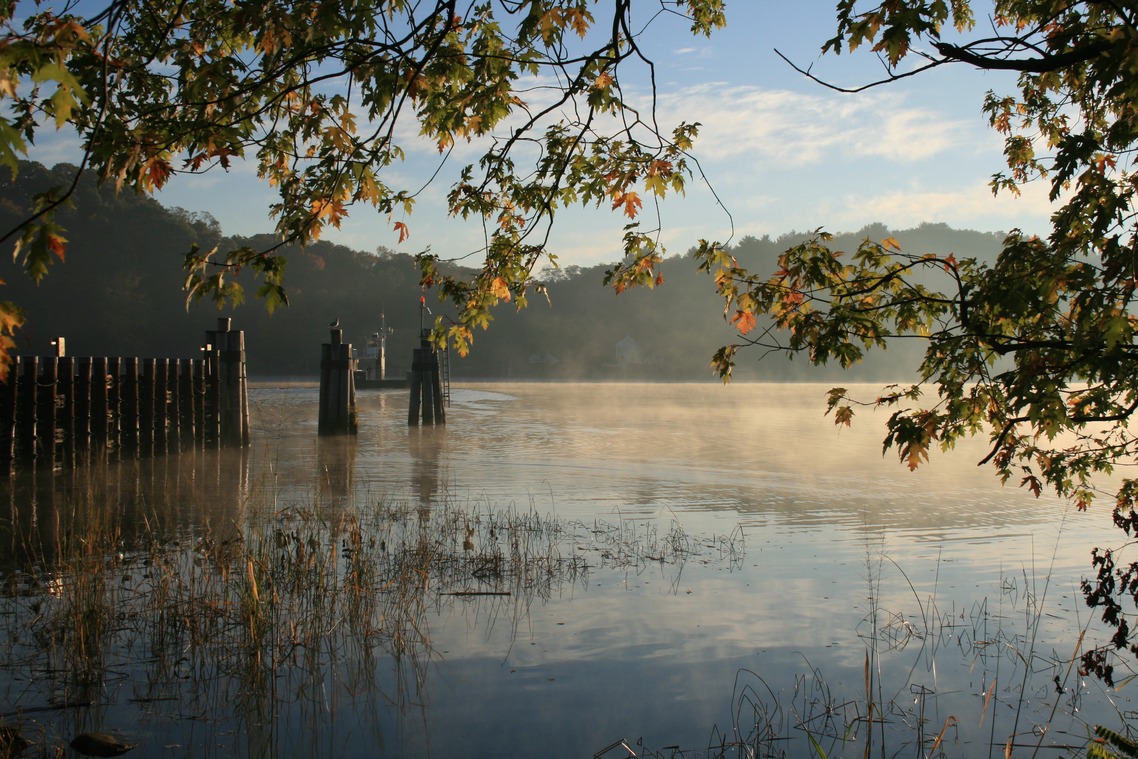
A bird’s eye view of inland Connecticut reveals our smoothly rolling hills, craggy slopes laced with stone walls, and networks of streams and villages. Our lowlands reveal an intimate shoreline abutting Long Island Sound and marshy meadows in major valleys.
But what do we landlubbers see when we close our eyes and think of the Nutmeg State? asks UConn Professor of Earth Sciences Robert Thorson. He suspects that most residents would initially see the roughly rectangular outline of the state — an arbitrarily drawn political boundary. Thorson challenges us to look beneath the map view and beneath the forest cover to see the physical aspects, the ‘bones’, of the landscape because these features played a critical role in historic culture and continue to shape our modern identities in unseen ways.
From his first glimpse of Connecticut out of the window of his airplane coming in for landing at Bradley airport in 1984, Thorson has learned to appreciate the subsurface details in the land of steady habits. Ten short essays –published recently in a special issue of CT Magazine — details his thoughts.
“Every organism has an outward-looking perceptual view, and we do too. This umwelt, this bubble view of Nature, shapes our identities, whether we realize it or not. For me, part of that view is downward, into the beloved Earth. For years I’ve heard that Connecticut doesn’t have much of a distinct state identity beyond being a hinterland between New York and Boston and a nice part of southern New England. I strongly disagree. We live in a unique physical landscape that has forged a unique state identity. Though we live in a world where identity politics is running amok, very few of us pause to think about the identity we share based on the lay of the land.”
There’s no place like Connecticut
Through the essay series, Thorson describes influential and unique aspects of Connecticut’s landscape, from its nexus at the Straits near Middletown, to the inverted “T” where the Connecticut River meets Long Island Sound.
“Within the Northeastern U.S., there is nothing like Long Island Sound and there is nothing like the Connecticut River Lowland,” says Thorson. “The marriage of these two linear elements brought our state into existence.”
Our upland landscape is also highly textured owing to the crisscross between the grain of the bedrock and the grain of the last glaciation. The alignments of ridges and streams give rise to a ‘diamond pixel’ texture that makes straightforward travel or rectilinear boundary determinations nearly impossible. Traveling due east-west or due north-south is hard because these directions cut across, rather than follow, the intersecting grains.
“If you think about the time before the automobile and deep roadcuts, travel was more strongly limited by that diamond pattern,” says Thorson. This forced residents into a more local mode. Our strongly localized sense of town government emerges from a tightly textured, or doubly crenulated landscape.”
Perhaps this helps explain why the small state of Connecticut has 169 towns, many more than the 129 municipalities in the Big Sky state of Montana.
Thorson also challenges us to think back into the deeper time of our landscape revealed by its deeper sediments, which show that Connecticut was a land of thousands of lakes after the glacier receded.
“When the glacier left, we had thousands of small basins occupied by small blue lakes that gradually disappeared as the soils began to fix nitrogen and aquatic organisms began to dominate freshwater ecology. It’s just kind of cool to think about Connecticut experiencing a transformation from being a mosaic of small stony lakes to a mosaic of small, lush wetlands, with the ecology being a lot richer for that.”
The Connecticut identity is also linked to its special places other than its cities and prominent landmarks. Consider the unusual local seismicity of the Moodus Noises – Moodus originating from the Algonquin word meaning ‘place of bad noises’ — that perplexed and frightened those living near the area for centuries. Or a tiny small pond in Branford that helped launch the disciplines of limnology – the study of lakes and ponds — and ecology.
Rapid Change and Implications for the Land of Steady Habits
Thorson notes that Connecticut is a conservative state, not politically, but physically, in the sense that, it is not known for rapid changes. This is the result of a stable, conservative geology, and, until recently, a stable climate.
This expectation for steadiness in Connecticut is troubling when considering the Northeast is warming faster than the rest of the U.S. How could this impact our efforts to adapt to climate change?
“I think that people are going to be more surprised because they’re used to things being stable and steady and we have that inherent conservatism. Now we are starting to warm at twice the rate of average here in Connecticut and we are starting to experience more dramatic changes in our daily lives. I think that people will be resistant when they’re used to stability, but they’ll be a little more freaked out when they see it’s really, really happening, and it is already happening,” says Thorson.
A deeper appreciation and connection with our solid sense of place below the surface may help as we transition into a more unstable norm above the surface.
“I just want people to pay more attention to the actual physical landscape that is shaping them, whether they know about it or not. We have lost if we lose touch with what the physical landscape means to us.”
If you would like to read more, see Thorson’s full essay collection at CT Insider.