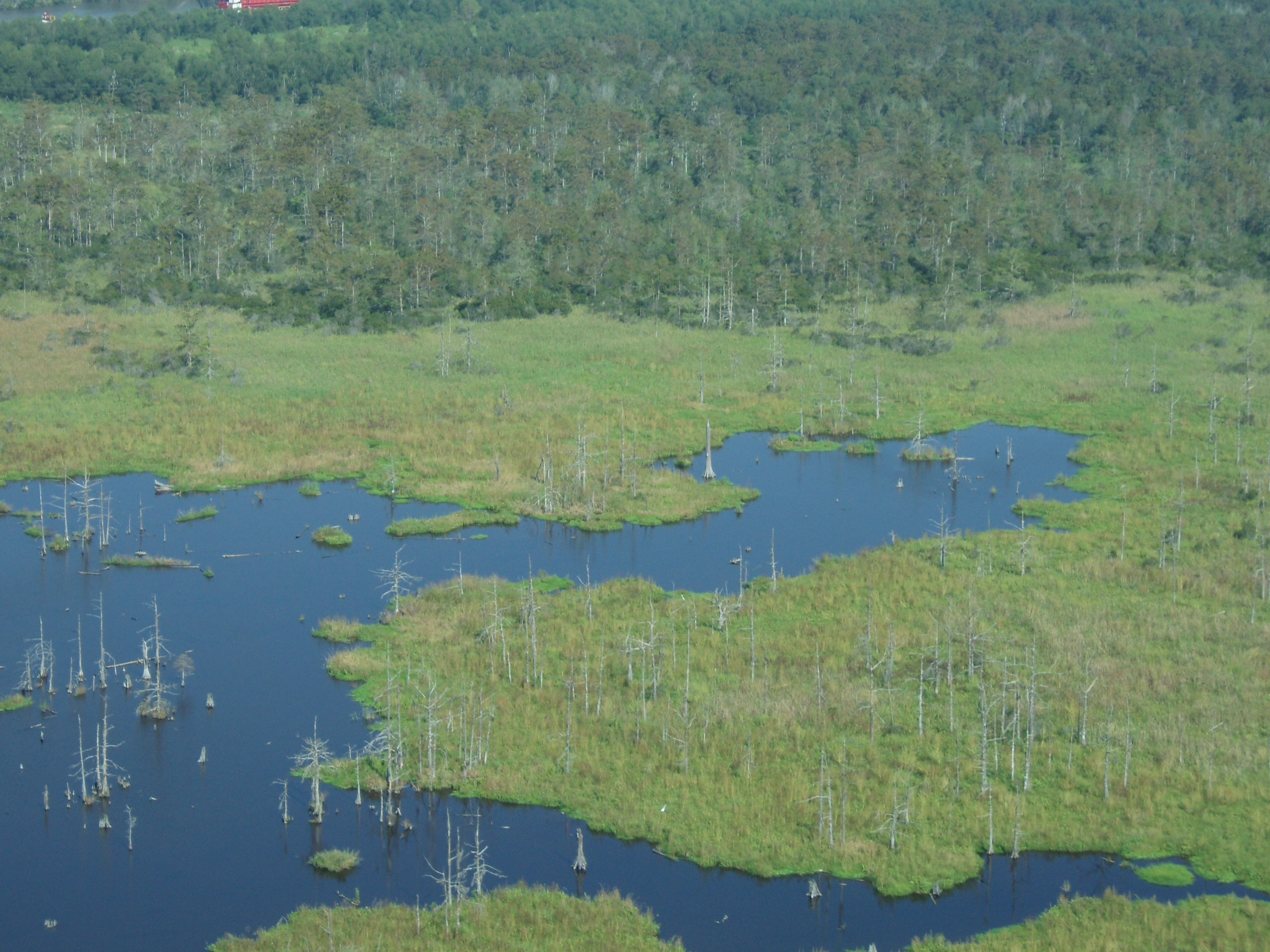
Without major efforts to rebuild Louisiana’s wetlands, particularly in the westernmost part of the state, there is little chance that the coast will be able to withstand the accelerating rate of sea-level rise, according to a new study by researchers at the University of Connecticut and Tulane University.
The study, published in the open-access journal Nature Communications, shows that the rate of sea-level rise in the region over the past six to 10 years amounts to half an inch per year on average.
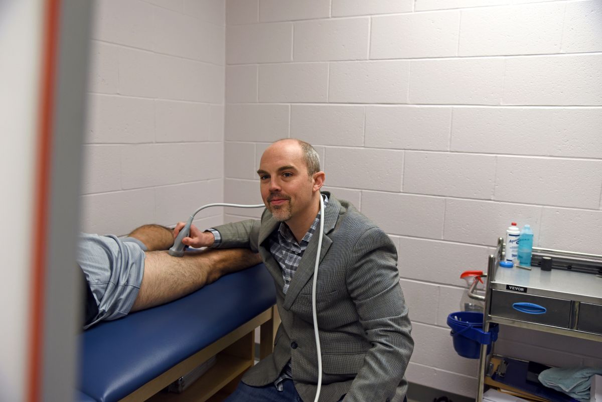
“A lot of culture, history, trade, and infrastructure is tied to the Mississippi Delta. Losing it would be potentially catastrophic for the American economy,” says Anjali M. Fernandes, a visiting assistant professor at UConn’s Center for Integrative Geosciences and co-author of the study.
“About 65 percent of study sites are probably still keeping pace, but in the westernmost part of coastal Louisiana, more than 60 percent of sites are on track to drown,” says fellow co-author and Tulane University geology professor Torbjörn E. Törnqvist.
Fernandes and Törnqvist conducted the study with lead author Krista L. Jankowski, a Ph.D. candidate at Tulane University.
Together they measured sea-level change by integrating information from hundreds of monitoring sites maintained by Louisiana’s Coastwide Reference Monitoring System, according to Fernandes, a sedimentologist.
“This is one of the largest data sets from a single delta that we’ve ever seen,” she says. “It has helped us understand how the compaction of sediment deposits at different depths and the addition of more sediment at the land surface determine overall susceptibility to sea-level rise.”
The researchers analyzed measurements of shallow subsidence rates at 274 sites across the coast and combined these with published GPS-measurements of deeper subsidence rates. Adding published satellite observations of the rise of the sea surface in the Gulf of Mexico, they were able to calculate how rapidly sea level is rising with respect to the coastal wetland surface.
“These researchers have developed a new method of evaluating whether coastal marshes in Louisiana will be submerged by rising sea levels,” says Justin Lawrence of the National Science Foundation, which provided funding for the study. “The findings suggest that a large portion of coastal marshes in Louisiana are vulnerable to present-day sea-level rise. This work may provide an early indication of what is to occur in coastal regions around the world later this century.”
At UConn, Fernandes is continuing this line of inquiry by conducting a large-scale spatial analysis of the data set used in the study. She hopes to determine which monitoring sites need data collected over longer time-scales, whether and where more sites need to be built, and whether the observed variability at these sites is caused by human activities like local agriculture or natural resource extraction.
“It’s important for us to understand these things because it would help us detangle the natural signal from human influence,” she says. “It is also important for us to better understand the composition, behavior, and geographic variability of the Delta sediment so that we can determine the amount of sediment needed to restore the wetlands.”
The research was made possible through publicly available data collected under the auspices of Louisiana’s Coastal Protection and Restoration Authority and the US Geological Survey.