The world today is filled with images, from the flashing pictures of TVs to stills in an art gallery. Large scale oceanographic models, like the Regional Ocean Modeling System (ROMS) model, can be thought of as pictures of what is happening in our ocean. They are comprised of points of information like pixels, which contain data instead of color. Like an image, it is harder to see what is happening when zooming into a specific region of the model because resolution is low, causing it to blur. A lower resolution translates into a model that is unable to capture changes in salinity, pH, or temperature on a scale that is needed to understand local waters.
This is especially true in coastal areas where runoff, freshwater inputs, and physical processes make predictions more complicated. Low resolution in coastal models can make it hard to predict when conditions may not be favorable for fisheries, like the scallop fishery in the Northeast U.S. This fishery has a particular interest in ocean acidification -the shift in ocean chemistry driven by an increase in the amount of carbon dioxide (CO2) in the atmosphere due to the burning of fossil fuels – as it can greatly impact scallop shell growth.
Samantha Siedlecki, an assistant professor of marine sciences at UConn, aims to increase the resolution, or add more data “pixels,” to ROMS model in the Northeast region. By doing so, she and her team will be able to get a picture that more closely resembles the real world.
This team is building a model that will “zoom in” on the U.S. Northeast waters and incorporate coastal processes like freshwater delivery from rain and rivers and eutrophication to increase the clarity that current models don’t provide. Being able to accurately model these coastal processes can help us understand how locations are impacted by ocean and coastal acidification. This project will look at how the interactions between biological, chemical, and physical variables have evolved and impacted coastal fisheries over the past 30 years and provide 100-year projections for the Northeast Coast.
“It is important to get a better understanding of the drivers of ocean acidification and where uncertainties lie to give us a direction on where to focus future research and observing,” says Siedlecki.
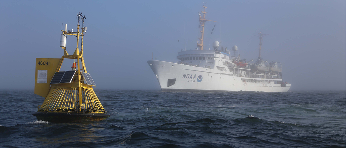
Not only will Siedlecki’s team be building a new model, but this model will evaluate the existing observing network’s ability to observe past coastal acidification trends and predict future ones with a focus on the important areas for major fisheries such as the scallop fishery. The scallop fishery in the Northeast U.S. has a particular interest in acidification in the region as it can greatly impact scallop shell growth. The outputs from this model will be processed to create 3D maps that display variables crucial to the health of the ecosystem such as the timing of increases in acidity and other environmental changes relevant to the scallop fishery.
“It’s exciting that the community is supportive of this kind of research and our results can identify locations that need more management attention and what variables need more observational knowledge,” says Siedlecki. This project’s clear zoom into the region will be instrumental in informing fishery managers and enabling them to create plans in order to prepare for future challenges.
Project Co-Investigators include Enrique Curchitser, Rutgers University; Charles Stock, NOAA GFDL; Joe Salisbury, University of New Hampshire; Alex Proussevitch, University of New Hampshire; Michael Alexander, NOAA ESRL; and Ru Morrison, NERACOOS


