The U.S. Census provides reliably accurate data about how many residents Connecticut has right now, but for state agencies, town governments, and economic developers, that information only goes so far. Everything from federal grant applications to plans for extending town sewer lines depend in part on knowing how many people will be here in five and 10 years’ time.
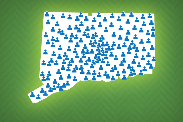
That’s where the State Data Center at UConn comes in. This month, for the first time in five years, researchers at the data center have released new population projections for the state through 2025, a resource that’s been eagerly anticipated by officials across Connecticut.
“This project involved several months of effort and was a great opportunity to explore methods for developing population projections for Connecticut through a series of collaborations,” says Michael Howser, associate director of the Connecticut State Data Center and a librarian at the Map and Geographic Information Center at UConn.
The projections, though, aren’t simply an update of the 2007 figures, but include several new features that make the information more accessible than ever.
The new projections, for example, incorporate data on births and deaths obtained from the state Department of Public Health, which make the estimates more precise. Researchers hit upon the idea for using the public health data when they noticed that the 2007 estimates for 2010 were off when compared to the Census count from that year.
Another new feature of the projections provides a range of estimates for each year and age group based on low, medium, and high fertility rates. That’s important, Howser says, in underscoring that the projections are estimates, and shouldn’t be taken as etched-in-stone certainties.
“To help planners, analysts, and decision makers, the updated projections provide three fertility rates to show potential variations in population,” he said.
The information is also presented to the public in an interactive web tool designed by data center staff member Jie Lin. The website allows users to explore population projections by year, fertility rate, and geographic unit from the state level to each town in Connecticut.
The project involved a set of cross-disciplinary partnerships both within and outside the University, as the data center got assistance from the public health agency and the state Office of Policy and Management, along with UConn’s Department of Geography, particularly geography professor Thomas Cooke, who reviewed the methodology of the projections. Much of the work on developing the projections was handled by Jonathan Pollak, a graduate assistant at the data center.
The center doesn’t plan to stop with the website, though; Howser says there are plans to roll out other features during the summer, including downloadable data sets, a Google Earth version of the data, and a summary report of their findings.
And town and state planners who count on having the information handy likely won’t have to wait another five years for an update, he adds.
“The Connecticut State Data Center will be reviewing these projections on an annual basis,” Howser notes, “and will make adjustments to the methods as needed.”