Natural Resources & the Environment
UConn Eversource Energy Center Partners with Dominion Energy
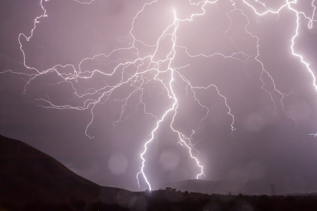
Last month, Dominion Energy signed an agreement with UConn to support a new, preliminary study focused on the development of an Outage Prediction Model (OPM) for Dominion Energy’s Virginia and North Carolina service territory.
April 11, 2022 | Combined Reports
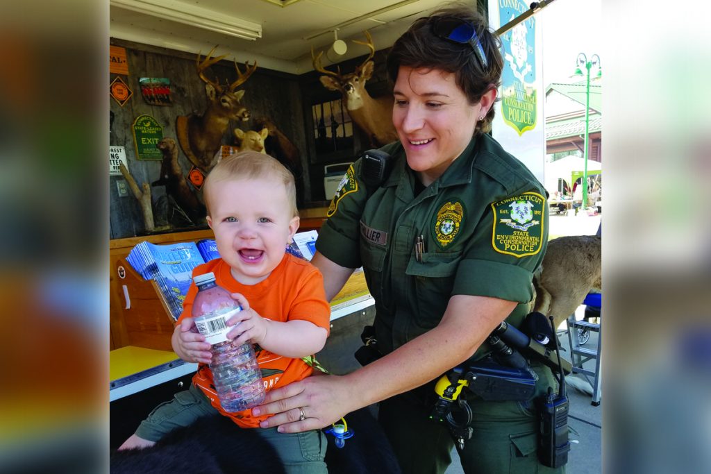
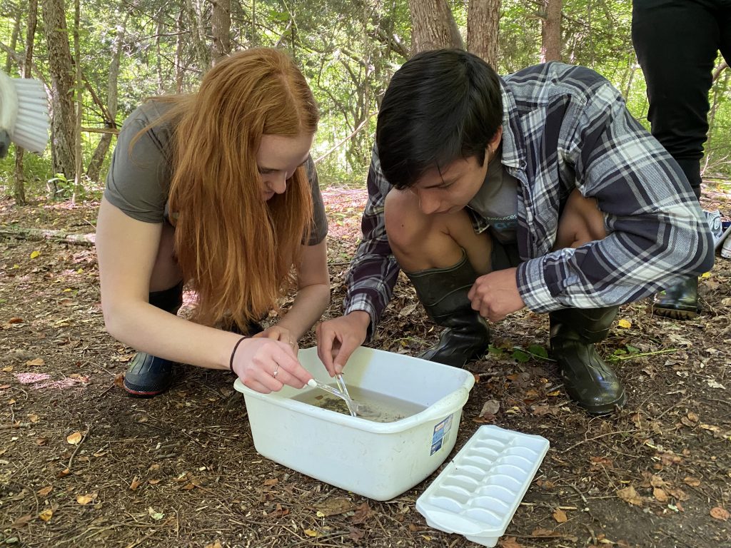
Steward of the Land: Elise Bouthillier Protects and Serves Connecticut Wildlife and Natural Resources
How the James V. Spignesi, Jr. Memorial Scholarship changed the course of one student's life
March 31, 2022 | Anna Zarra Aldrich, College of Agriculture, Health and Natural Resources
CAHNR Celebrates Students, Donors at Annual Scholars Night Event
The College of Agriculture, Health and Natural Resources celebrated student scholars and the donors who supported their studies at an annual event
March 15, 2022 | Jessica McBride, PhD
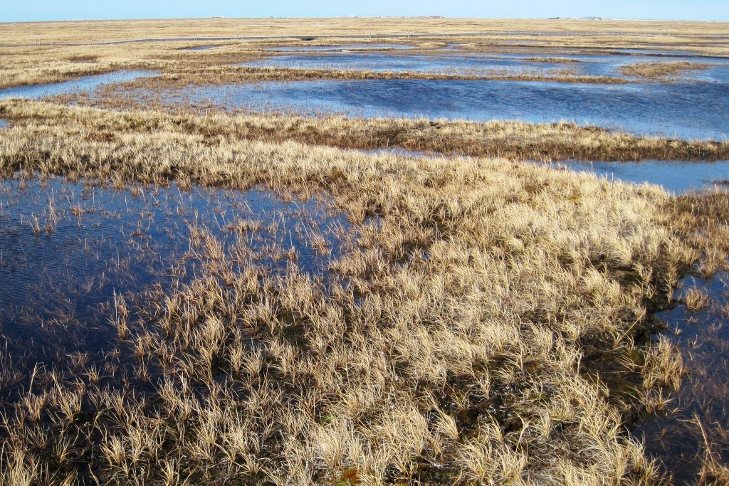
Monitoring Arctic Permafrost with Satellites, Supercomputers, and Deep Learning
Arctic researchers and remote sensing experts use AI and HPC to characterize large, unexplored parts of the Earth
March 3, 2022 | Combined Reports
Proposed Center for Food Innovation Seeks Community Input
UConn is exploring the creation of a Center for Agriculture and Food Innovation to help businesses in this diverse sector
March 2, 2022 | Anna Zarra Aldrich, College of Agriculture, Health and Natural Resources
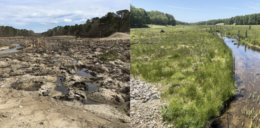
Digging into the Finer Details of Retired Cranberry Bog Restorations
As cranberry farming shifts from New England, efforts are underway to restore the famous 'bogs' as beneficial wetlands
February 21, 2022 | Elaina Hancock
From Policy to Practical: UConn Students, Alumni Use Personal Strengths to Address Climate Change
Marshaling the University's resources to tackle the pressing issue of climate change through research, policy advocacy, and more
February 18, 2022 | Kimberly Phillips
CT Bird Atlas Tracks State Birds with Eye Toward Conservation
A UConn team leads a massive community research effort to catalogue birds across the state
February 17, 2022 | Anna Zarra Aldrich, College of Agriculture, Health and Natural Resources
UConn Program Shows the Difference a Mentor Can Make
Connecting UConn students with high school students to foster skills ranging from forestry to overcoming imposter syndrome
February 16, 2022 | Elaina Hancock
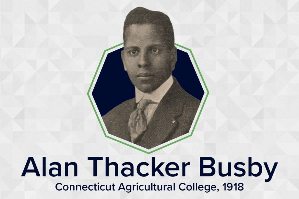
Honoring Alan Thacker Busby: First Black Graduate, UConn Trailblazer
The University’s first Black student excelled in research, education, and service to his country
February 15, 2022 | Jason Sheldon
