CT Counties
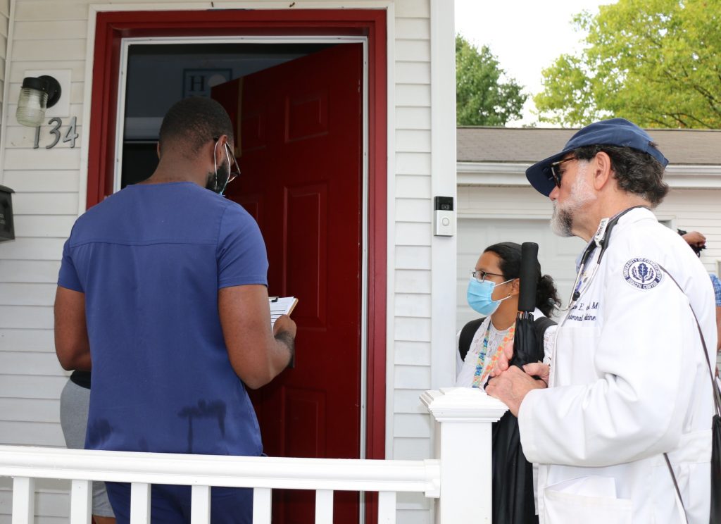
Knock, Knock: UConn Students Making Hartford House Calls with COVID Vaccines
The community initiative is a partnership of CT AHEC, based at UConn Health, with the City of Hartford Department of Health and Human Services, Harriott Home Health Services, and the Hispanic Health Council
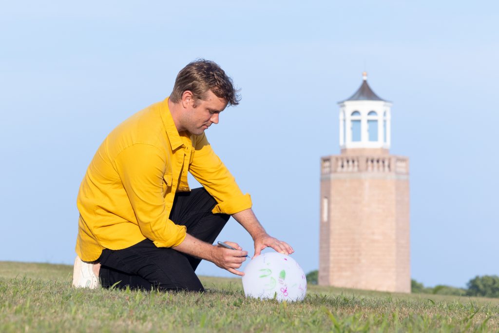
Outdoor Sculpture Exhibit, Open Air 2022 Intends to Spark Conversation at Avery Point
Gun violence, environmental catastrophe among the themes explored by artists in diverse exhibition of artworks

Law School Alum Pursues Passion for Aiding Immigrants
From the Asylum and Human Rights Clinic to a prestigious legal fellowship in New York City
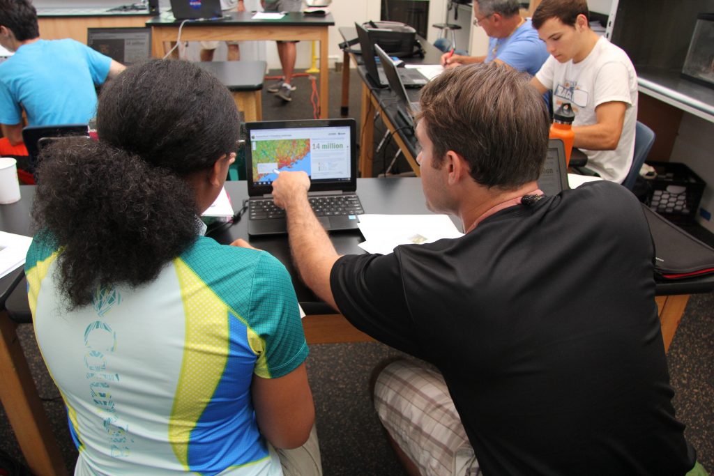
E-STEAM Ahead: CT High Schoolers to Become ‘Eco-Digital’ Storytellers Through Interdisciplinary Grant
An interdisciplinary group of UConn researchers is leading an effort to empower high school students to become "Eco-Digital" storytellers in their communities.
UConn 4-H Participant Turns Astronomy Project into a Potential Career
4-H gives Connecticut student opportunities for hands-on learning for a future in STEM

School of Business To Offer Advanced Business Graduate Certificate in Fast-Growing FinTech Field
The new offering, a 12-credit graduate certificate, is expected to appeal to mid-career managers and executives eager to expand their skills

Pratt & Whitney Scholar Comes Into His Own at UConn
'I have the opportunity to be myself here at UConn, to be the person I always wanted to be'
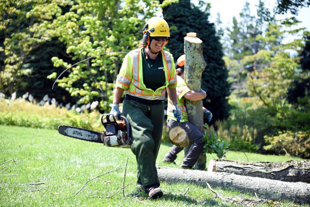
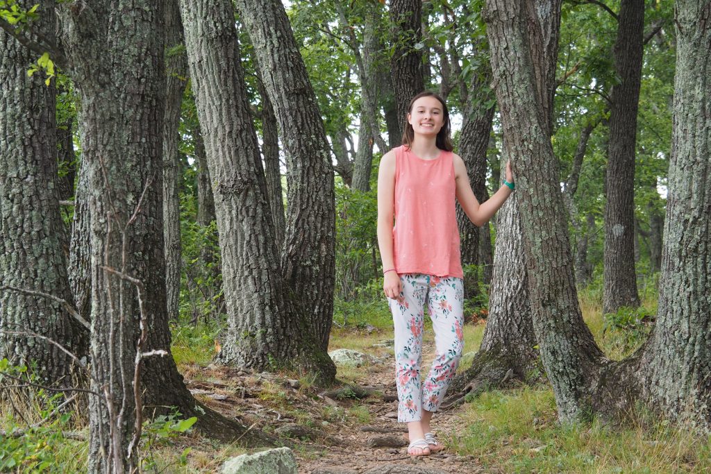
Tree Hugger: Alyssa Cleland Learns the Arborists’ Ropes
One of few females in the field, Alyssa Cleland soars to new heights in her training to be a licensed arborist

Federal Court Cites UConn Law Professor on Key Immigration Case
2nd Circuit appeals court cites Jon Bauer's work in overturning a decision by the Board of Immigration Appeals
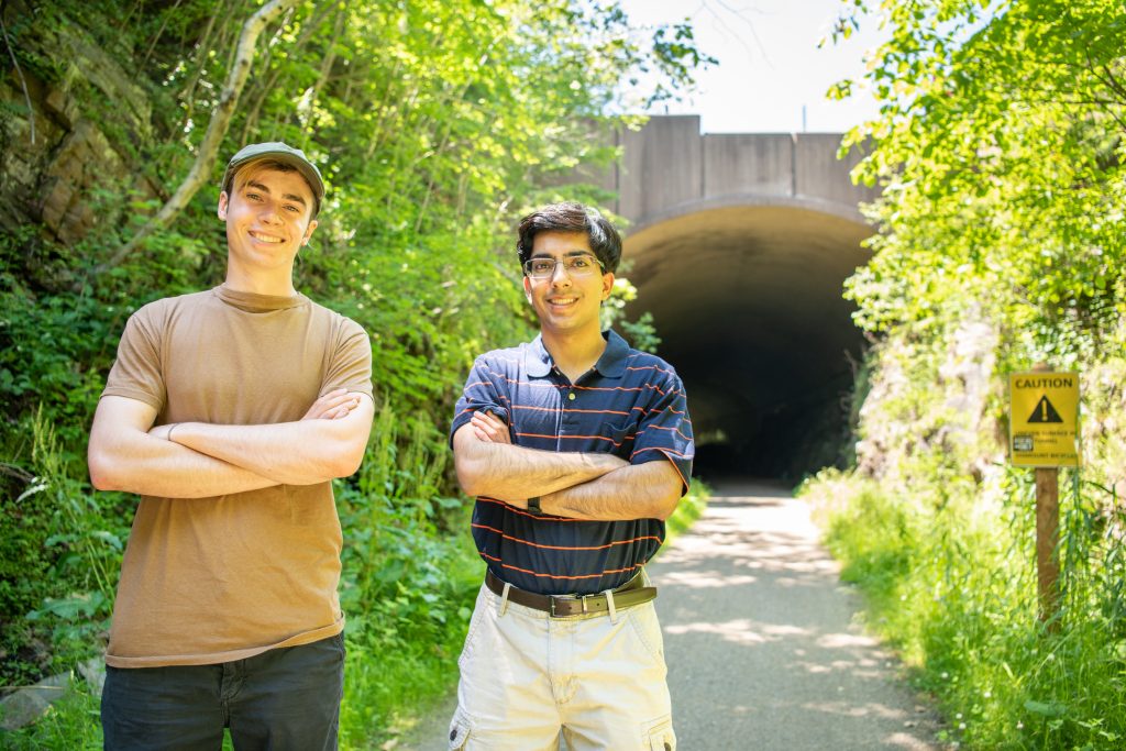
For Popular Trail, There’s Light at the End – and the Beginning, and the Middle – of the Tunnel
UConn students' Service Learning project will help make the Hop River Trail safer for the thousands of bikers and pedestrians who use it